


Original price was: £302.00.£97.99Current price is: £97.99.
- Quality You Can Count On
- The home of quality products.
- Uncompromising quality, every time.
- Shop with Ease

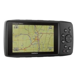
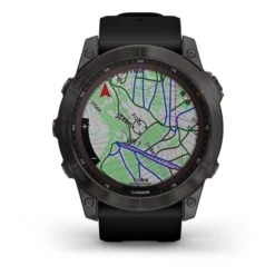
The Garmin GPSMAP 276Cx is an off-road navigator developed from the legendary, versatile and reliable GPSMAP 276 series. Maintaining and improving the much appreciated functions of its predecessor, the GPSMAP 276Cx has even more precise navigation technology through GPS and GLONASS, a larger 5-inch screen readable in full light, integrated sensors: barometric altimeter and 3-axis compass and additional navigation functions.
Box contents:
– Garmin GPSMAP 276Cx
– Mounting bracket
– AMPS feeder with boat stand
– Rechargeable battery
– USB Cable
– AC adapter
– 1-year subscription to BirdsEye satellite images
– User manuals
Functions:
– GPS AND GLONASS: Internal antenna with GPS satellite reception and GLONASS to register your position in more extreme terrains; for better reception inside vehicles add an external antenna (not included) to the integrated MCX connector.
– Wide screen: Large 5-inch screen, visible in full light with a wide angle of visibility.
– ABC sensors: Altimeter, barometer and 3-axis compass incorporated for greater control of the environment.
– Optional maps: Compatible with Garmin TOPO maps and Active routes in TOPO Pro maps, BlueChart g2 nautical charts, City Navigator, Custom maps, raster maps and vectorized maps.
– Advanced navigation: Beyond classic navigation, experience advanced options: “car” mode, winding road routes and advanced navigation of tracks, etc.
– Active weather: Supports active Meteorology forecasts and animated weather monitoring with weather radar.
– Wireless connectivity: Link with your compatible smartphone for smart notifications and LiveTrack; It also supports Bluetooth hands-free navigation and WiFi and ANT + technology for the integration of external sensors.
– Audio output: Uses turn-by-turn or hands-free function indications through an optional stand or Bluetooth.
– Expandable memory: 8 GB internal memory and slot for micro SD cards for memory expansion.
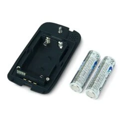
– Dual battery system: It works with included rechargeable battery or traditional AA batteries (not included).
– Pre-loaded maps: Embedded global base map, Europe leisure maps and 1 year free subscription to BirdsEye satellite images.
Characteristics:
– Dimensions: 191.5 x 94.5 x 44.0 mm
– Screen size: 127.0 mm diagonal / 5.0?
– Screen resolution (width x height): 800 x 480 pixels
– Weight: With the rechargeable battery included: 450 g. With AA batteries: 415 g
– Battery type: Rechargeable Lithium-Ion (included) or 3 AA batteries (not included)
– Autonomy: up to 16 hours (Lithium-Ion battery). Up to 8 hours (AA batteries)
– Water resistance: IPX7
– Connectivity: Wi-Fi, Bluetooth and ANT +
– Interface: Compatible with high-speed USB and NMEA 0183
– Internal memory: 8 GB
– Data cards: microSD card? (not included)
– Waypoints: 10,000
– Routes: 250 Tracks: 20,000 points, 250 saved tracks
– Map Segments: 15.00
Be the first to review “Garmin GPSMAP 276Cx”
Related products

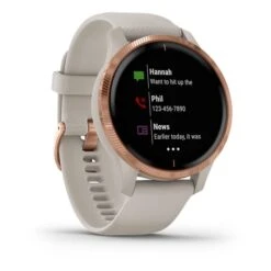
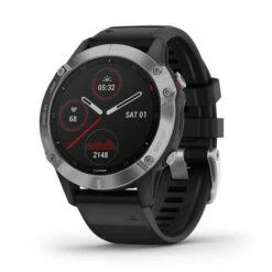
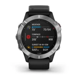
Outdoor Smartwatches & GPS
Outdoor Tech
Outdoor Smartwatches & GPS

Outdoor Smartwatches & GPS Accessories
Outdoor Powerbanks and batteries
Goal Zero Yeti 400 & 500X Protection Battery Case Black Grey
Outdoor Smartwatches & GPS Accessories
Reviews
There are no reviews yet.